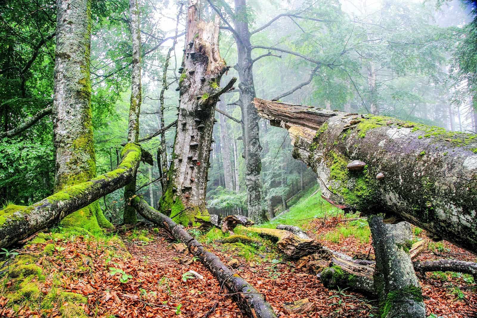
Between Sengsengebirge and Hintergebirge in Kalkalpen NP
Today we were accompanied by Hartmann Pölz from NP Kalkalpen to get a first insight into the more Eastern part of the Kalkalpen NP, the Hintergebirge. During our hike, we again differenciated between the different zones and management regimes, the management zone/Bewahrungszone and the core zone/Naturzone. The management zone which is mainly located in the Southern part of the NP provides a buffer towards the private forest land outside the national park and spruce affected by bark beetle are cut, bark removed and partially taken out. However, substantial areas lying within the management zones are actually never managed due to terrain constraints.
We visited one of the few pasture areas that are still grazed by cattle over the summer months (Mayralm), discussed the way of signs for hiking trails (maintained by the Austrian Alps Association – Alpenverein), fencing of the grazed areas, visitor monitoring and management, and eventual extractive uses.
In the end, we followed a forest road the beginning of which was taken out about 10 years ago. It was impressive to see how far natural regeneration has recovered this old forest road since then.
We ended with a visit to the visitor center and panoramic tour Wurbauerkogel with its exhibition concentrating on geological history – ‘about stones and ice’ – the backbone of the natural habitats and dynamics of the national park.


It looks stunningly beautiful there. Do you have a map that shows the larger area and the specific wilderness areas you’re looking at? Thanks!